
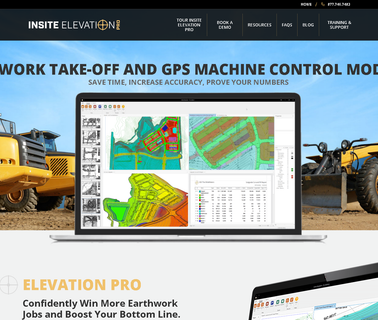
Insite Sitework Earthwork & Utility Estimating Software Calculates Cut & Fill, Stripping, Subgrade Materials, Topsoil, Trench Excavation and Backfill from Cad, Paper, Image (Pdf, Tif,), and Field Data Imports. Includes the Dynamic Site Balancer. View High Res. 3 D's, Cross Sections, and Scaled Plans. Field General Office Layout Software Creates Layouts (Offsets, Building and Contour Staking,) and Surface Models from Cad Files. Export Data to Gps, Total Stations, and Machine Control, Industrial Analyzers, Industrial Measuring ...