

Applanix, a wholly owned subsidiary of Trimble, builds, delivers, and supports products and solutions designed specifically for the unmanned aerial survey industry. Our DG technology works with UAV mapping sensors – including cameras, LiDAR, and hyperspectral sensors – to perform highly efficient mapping and surveying from a UAV. applanix ...

Mapping, Photogrammetry, Software, Aerial Triangulation, Dsm, Point Cloud, Dtm, Orthomosaic, Mosaic, Drone, Aircraft, Satellite, Uav, Agriculture, Surveying, Emergency Response, Environmental Monitoring; High End Mapping Software, Rapid processing of imagery from drones, aircrafts and satellites. Start mapping today with Correlator3D ...
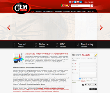
GEM Systems to discuss your UAV geophysical needs; Given the increase in popularity of UAV platforms, GEM Systems has specifically designed a lightweight and ultra sensitive magnetometer and gradiometer for UAV applications such as aerial mapping, mineral exploration, pipeline and & or wellhead detection, Unexploded Ordnance Target Identification (UXO) #DRONEMag, Petroleum Equipment ...
Drones, Uav, Uas, Rpas, Professional, Commercial, Survey, Imaging, Mapping, Gis; At Sensefly We Develop and Produce Aerial Imaging Drones for Professional Applications; Drones for Professionals, Mapping & Photogrammetry, Flight Planning & Control Software: Sensefly Sa, Solar Power ...

Arcturus UAV produces a family of long endurance tactical unmanned aerial vehicles. the T 20 and JUMP 20 VTOL aircraft are runway independent systems that provide full motion video, in real time, for border surveillance, force protection and military ISR. Payloads include a variety of gimbal sensors, SIGINT, LIDAR, Infrared, SAR, wide area mapping, and comms relay. arcturus uav.com; Brands: Arcturus UAV, T 20, JUMP ...
Lidar, Mapping, 3D, Sensing, Robots, Uav, Industrial, Automation, Point Cloud, Perception, San Jose, Technology, Laser, Sensing, Ranging; Cepton is next generation of 3D LiDAR solutions for automotive, industrial and mapping applications. Cepton LiDAR delivers unrivaled performance, range and resolution at low cost, Industrial Automation ...
Drones Aerospace Space Planes Models Surveillance Orthophoto Infrared Uav Unmanned Aircraft System Military Blended Wing Body Bramor Atlas Aviation Gis Mapping; C Astral is an aerospace solutions provider based in Ajdovscina, Slovenia, the hub of advanced aerospace development and integration in this part of Central Europe ...